
GIS & Modelling
Mapping complexity and modelling change.
We use advanced geospatial tools and modelling techniques to help clients understand, visualise, and manage complex data.
Our team works across sectors - including agriculture, energy, conservation, and infrastructure - to turn spatial data into actionable insights. Whether you're looking to assess change over time, forecast future conditions, or communicate spatial information through interactive web maps, we can deliver all kinds of data-driven solutions that support informed, sustainable decision-making.
GIS & Modelling Services
-
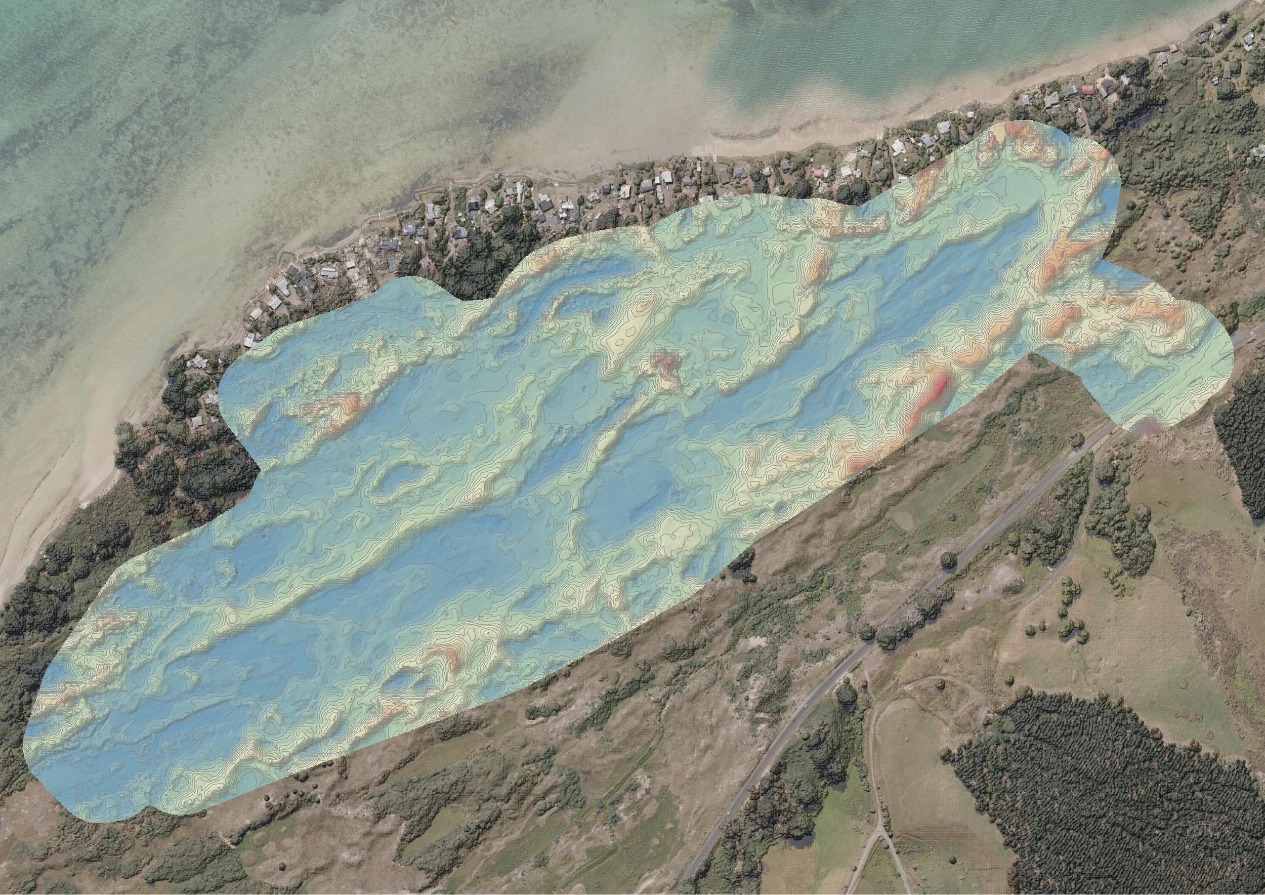
Geostatistics
Application of statistical methods to spatial data to analyse patterns, trends, and relationships in geographic phenomena - ideal for environmental, agricultural, and urban studies.
-
Spatial Modelling
Development of predictive models to simulate real-world spatial processes, supporting land-use planning, resource management, and climate impact analysis.
-
Remote Sensing
The use of satellite and aerial imagery to collect and analyse data about the Earth's surface to monitor environmental changes, land use, vegetation, and more.
-
UAV (Drone) Mapping
Drone deployment to capture high-resolution imagery and 3D models for detailed mapping, site assessments, agricultural monitoring, and infrastructure analysis.
-
Land Use Analysis
Comprehensive analyses of land use and land cover, including mapping current conditions and detecting changes over time. This supports planning, conservation, development monitoring, and sustainable land management.
-
Cartography
High-quality map production - both static and interactive - tailored to communicate complex data in visually engaging ways.
-
Web Mapping
Interactive online maps and geospatial applications that enable users to explore data layers, visualise spatial relationships, and make informed decisions in real time.
Case Studies
See our GIS & Modelling services in action:

